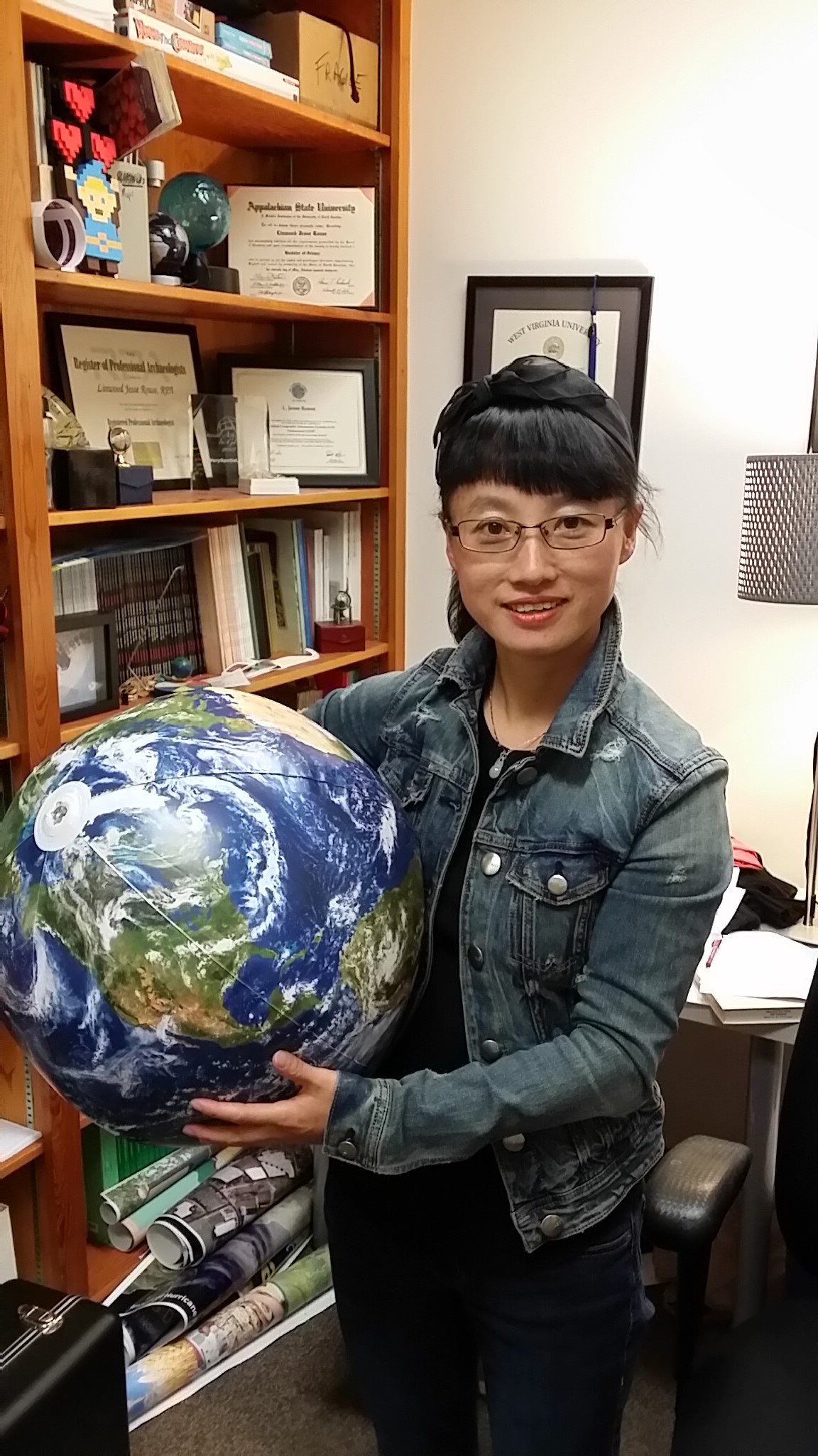
Individual Resume:
Jiang Youyi, a female, postgraduate, associate professor, master tutor. She has published 20 academic papers in core journals; one job invention patent; three utility model patents; one software copyright; completed 9 horizontal surveying and mapping scientific research projects, mainly participated in nine horizontal scientific research projects, 3 educational reform projects, and one provincial quality course. Email:1186696720@qq.com
Field of Investigation:
1. Acquisition and processing of geospatial data
2.3S integration and application
Opening Courses:
Undergraduate courses: Principles and Application of GIS, Engineering Surveying, Mapping, Foreign Language in Surveying and Mapping
Study and Work Experience:
1992-1996 Xi'an Surveying Engineering, Mining Institute
1996-2001 Master's degree from the Department of Surveying Engineering, Xi' an University of Science and Technology
1996-Associate Professor, School of Surveying and Mapping Science and Technology, Xi'an University of Science and Technology
Representative Academic Achievements:
1. Joint inversion algorithm of phase and amplitude based on forest density, Remote Sensing Information, 2020.04
2. Three-stage forest height estimation method based on time decorrelation, Forestry Scientific Research, 2020.06.15
3. Analysis of cross-fault vertical deformation in Guanzhong region, Science and Technology Bulletin, 2019.03
4. Design of precision levelling control device, Journal of Xi'an University of Science and Technology,2018.11
5. Automatic control image control method based on UAV image ZL201810319807.X, invention patent 2019.05
6. A UAV image control point measurement device, ZL 2018 2 1750068.1, utility model patent, 2019.07
7. Earthquake magnitude estimation and analysis system V1.0, registration number: 2018SR810602, computer software copyright, 2018.08
Major Scientific Research Projects:
1. Survey Project of Municipal Engineering Design and Research Branch, Crosswise Project, 2021
2. Analysis of crustal uplift mechanism and magma activity based on geodesy and MT technology, Crosswise Project, 2020
3. Construction Drawing Design and field Survey Service of Ningshan to Shiquan Expressway (6000190239), Crosswise Project, 2019
4. Construction drawing survey of K0 + 000 from Huanglong to Pucheng-K35 + 000 (6000180280), Crosswise Project, 2019
5. Construction drawing measurement of K23 + 000-K46 + 242, transverse project, 2018
6. Research on key technology of photogrammetry in mine roadway (2018JM5103), Natural Basic Research Plan of Shaanxi Province, 2018
7. The Implementation of the achievement-oriented education mode under the OBE concept in the "Engineering Measurement Curriculum Teaching", the Teaching Reform Project, 2020
8. Construction of application-oriented innovative talents in remote sensing science and Technology, educational reform project, 2015
Honors and Awards:
1. Second prize of the National Teaching Skills Competition of Young Teachers of the Ministry of Education, China Education Steering Committee, 2011.07
2. Jingtai County second land survey project, Provincial Excellent Surveying and mapping Engineering Award, Chinese Society of Surveying and Mapping and Geographic Information, 2014.11
3. University of North Carolina (University of North Carolina) Outstanding Visiting Scholar Award, Excellence Award, Center for International Exchange, February 12,2015
Excellent Communist Party Member, Excellence Award, Xi'an University of Science and Technology, 2000.12