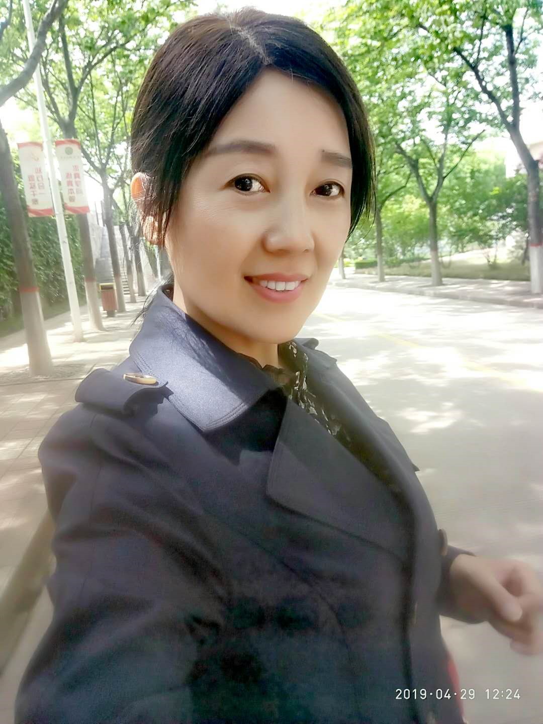
Individual Resume:
Qiu Chunxia, a female, born in May 1969 in Xi 'an, Shaanxi province, is a member of the Communist Party of China, associate professor, master tutor, national registered surveying and surveyor, dean of the Department of Geographic Information Science, and university-level advanced individual of teacher's ethics. She is mainly responsible for the teaching of undergraduate courses such as Principles of Geographic Information System, Mapping, Photogrammetry and graduate courses of Principles and Methods of Geographic Information System. It mainly studies uav inclined image point cloud data processing and 3 D modeling, remote sensing image processing and other technologies, and is good at multi-source geospatial data production. In recent years, presided over and participated in more than 10 to research projects and educational reform projects, professional journals at home and abroad published more than 20 papers, more than 10 patents, editor textbook two, practice instruction books, two teaching materials, won a second prize of Surveying and Mapping Science and Technology Progress, the third prize of Shaanxi University Science and Technology, 2018 classroom teaching quality, and teaching achievements. She also guides Challenge Cup, Internet +, "Big" and other extracurricular competitions.
Email: 306044748@qq.com
Field of Investigation:
It mainly studies uav inclined image point cloud data processing and 3 D modeling, remote sensing image processing and other technologies, and is good at multi-source geospatial data production.
Opening Courses:
Undergraduate courses: Principles of GIS, Mgraphy, Photogrammetry
Graduate courses: Principles and Methods of GIS
Study and Work Experience:
1987.9--1991.7 Xi 'an Institute of Geology with a bachelor's degree in Engineering Surveying;
1991.7--1995.8 Physical and chemical Exploration Team of Shaanxi Bureau of Geology and Mineral Resources, assistant engineer;
1995.9--1998.7 Xi 'an University of Mining and Technology, obtained a master's degree in Engineering surveying;
1998.7--Now Associate professor at Xi'an University of Science and Technology.
Representative Academic Achievements:
1. Research on the ecological environment of giant panda habitat in the Qinling Mountains based on ArcView, Journal of Xi'an University of Science and Technology, in March 2006
2. Preliminary design of urban grid management system platform, Journal of Xi'an University of Science and Technology, in March 2008
3. Land use change driven by farmland conversion in loess hilly and gully areas, Mountain Journal, in November 2015
4.3D-model construction and model optimization of inclined images, Surveying and Mapping notification, in May 2017
6. Research on open space fusion in 3 D modeling of UAV tilt images, Surveying and Mapping geographic information, in October 2020
7. Research on urban land grading method based on ArcGIS, Surveying and Mapping geographic information,in August 2021
8. Spatial Analysis and Practice Planning of GIS, Geological Press,in March 2017
9. Principles of Modern cartography, Science Press,in April 2021
10. A portable mapping instrument device, ZL201810637475.X, patent, in June 2020
Major Scientific Research Projects:
1. Multi-scale larch plantation production forecast, national key R & D plan project, in January 2018
2. Technology integration and model of soil erosion control and ecological industry coordinated development of the Loess Plateau, national Key R & D plan project,in January 2019
3. Hardware development of digital photogrammetry system, Crosswise Project, Wuhan Aerospace Vision Company, in January 2012
4.1:2000 topographic map mapping in Shannan, Shannan Region, Xizang, Crosswise Project, Shaanxi Nengtong Engineering Consulting Co., LTD., in September 2015
5. Chongqing Metropolitan Area 1:2000 Digital line drawing, digital elevation model production project, Crosswise Project, China Coal Aerial Survey and Remote Sensing Bureau,in August 2016
6. Ansai County county seat urban topographic map mapping, Crosswise Project, Ansai County County Government, in June 2014
7. "Hekutang Canal" Surveying and mapping survey Project, Longxian County, Shaanxi Province, Longxian Water Resources Bureau, in July 2018
8. Based on high spatial-temporal resolution remote sensing image of winter wheat area monitoring, Beijing Agricultural Information Technology Research Center, in January 2019
9. "Three Rights" Certification Project, Yumen City, Gansu Province, Yumen City Bureau of Natural Resources, in March 2020
10. UAV mapping technology research and development project of Xiakou Village, tepid Town, Longxian County, Henan Meiyuan Engineering Technology Co., LTD., in August 2020
Honors and Awards
1. Study on the upper and lower control measurement accuracy limit difference of Sangshuping Coal Mine, second prize, Shaanxi Society of Surveying, Mapping and Geographic Information, in June 2014
2.2018 Classroom Teaching Quality Award, First Prize, Xi'an University of Science and Technology, in January 2019
3. Innovation and Practice of geographic Information Science (GIS) professionals training in local universities oriented by engineering ability, second prize, Education and Science Popularization Working Committee of China Geographic Information Industry Association, in August 2019
4. Innovation, reform and practice of photogrammetry teaching in the new Era, first prize, Xi'an University of Science and Technology, in October 2019
5. Innovation, reform and Practice of Photogrammetry Teaching in the New Era, second prize, China Coal Education Association, in December 2020
6. Strengthen the professional characteristics of geographic information science in western universities, and establish a cross-science and technology, industry-university-research collaboration, and composite innovative talent training system. The second prize, Education and Science Popularization Working Committee of China Geographic Information Industry Association, in August 2021